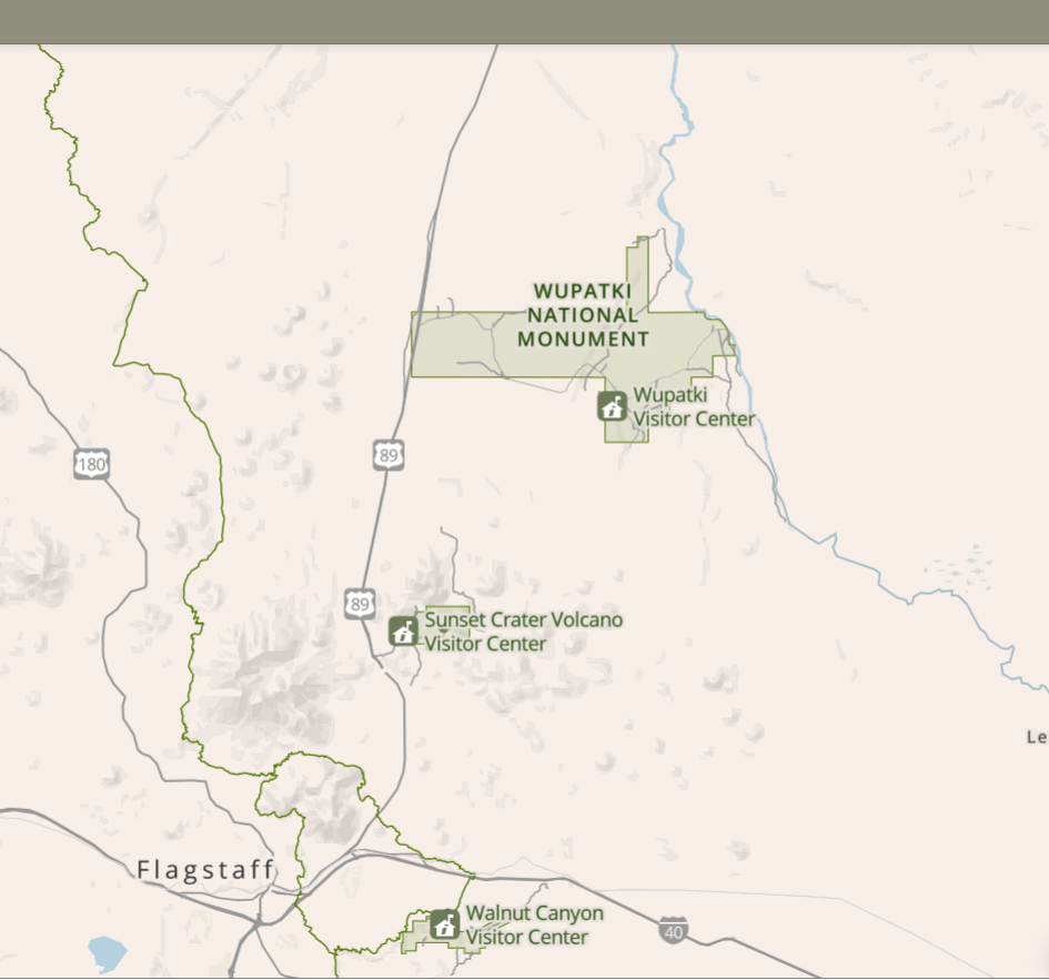
There are many National Parks, National Monuments and Tribal Reservations in northern Arizona. About 45-minutes north of Flagstaff is the Wupatki National Monument. As I drove there I passed a highway sign that said “Elevation: 7000 feet” (about 2133 meters). I sometimes forget how much higher in elevation north Arizona is.
Driving thru the park (I’m just going to call it “park”) there are plenty of evidence of wildfires. Some were still just black desert, but most had plant life re-colonizing the now open landscape.
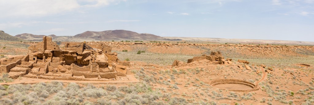
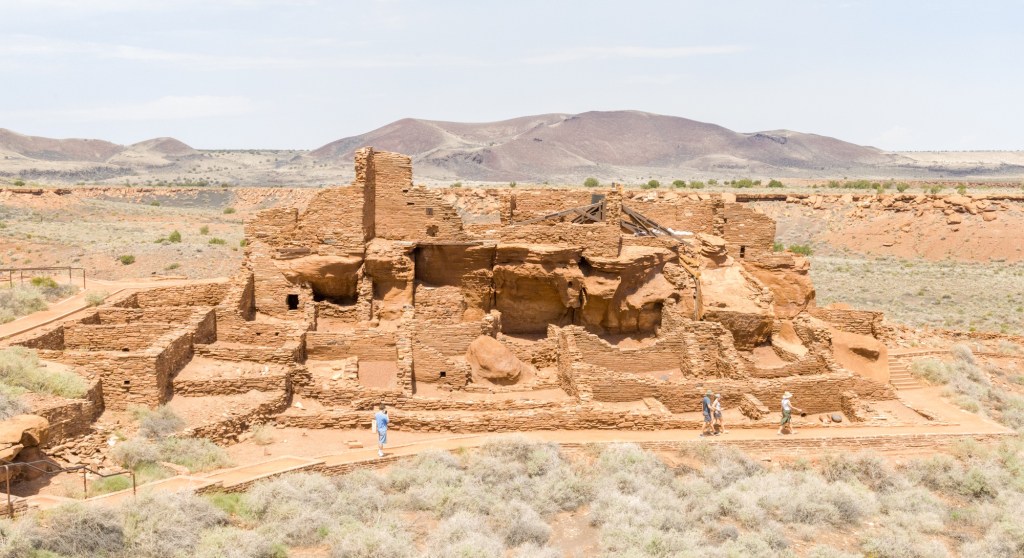
Wupatki (pronounced “woo-Pot-key”) is a series of “pueblos”, or a village supported by a series of buildings. In the 12th century there was a cool climate and wet enough weather to support many pueblos in northern Arizona, and Wupatki was positioned near a spring and the intersection of several trading paths. At its height there were over 100 rooms in the stacked sandstone buildings.
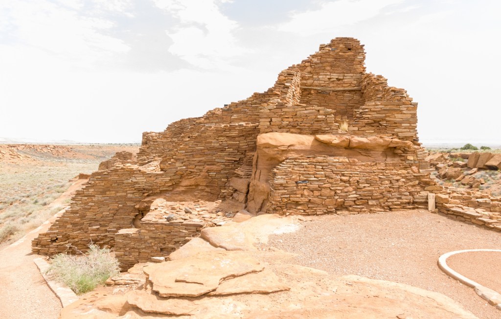
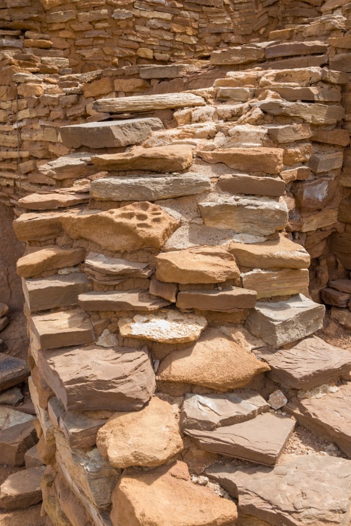
Here is a close-up of the brick-sized sandstone slaps with a clay-based mortar.
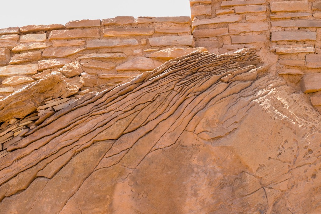
There are several giant sandstone boulders with crack systems that go to show how they are a natural source of building material.
Near to the main buildings are several public structures, including a “kiva”, or open area for political meetings and social gatherings.
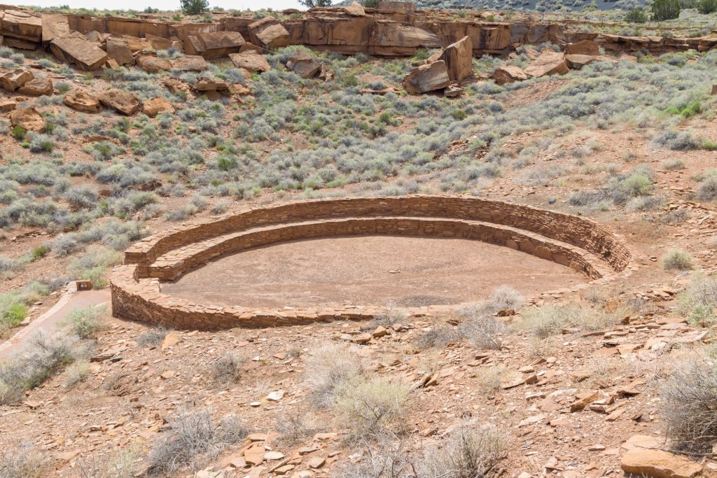
Further downhill is a ball court. This is a reconstruction from the 1960s. The ranger said such courts migrated from the south with traders. Such traders also brought beans and corn to Arizona.
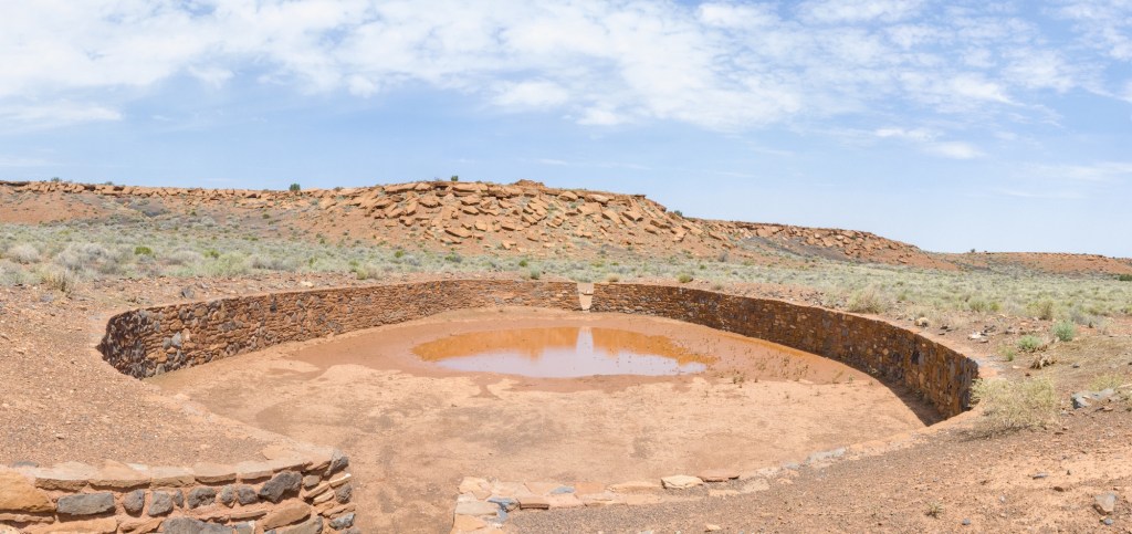
The most unusual part of Wupatki is the “blowhole”. Seems there is enough water erosion here that long caverns have been carved and connected. Depending on the weather the blowhole at Wupatki exhales air out or inhales it in. The signs around the area say there are several other such blowholes within 20 miles (32 km).
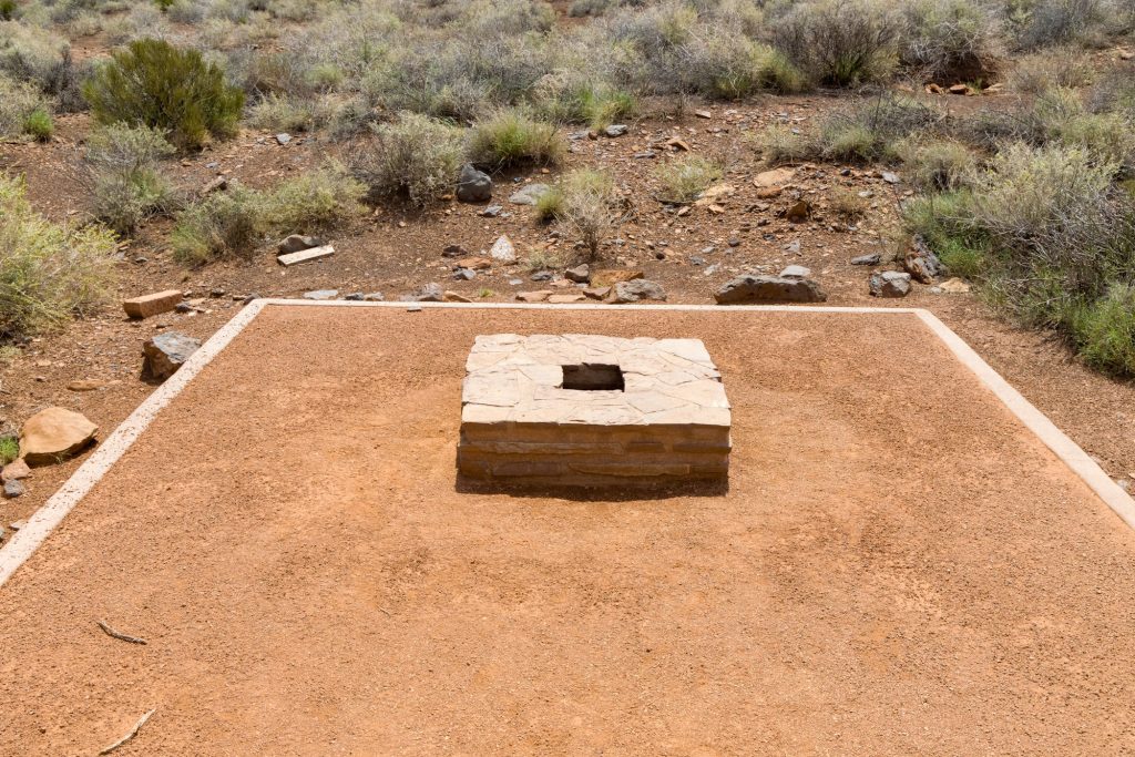
Here you can see the blowhole try to drag my ball cap down to its doom. Exciting stuff, I’m sure.
In the 13th century the climate dried up and the spring failed. This pueblo was abandoned.
Just to add some color, here are some National Park Service pictures. The first is from within the visitor center with an artistic rendition of Wupatki at its height. Yes, at the time parrots lived in the southwest of North America.
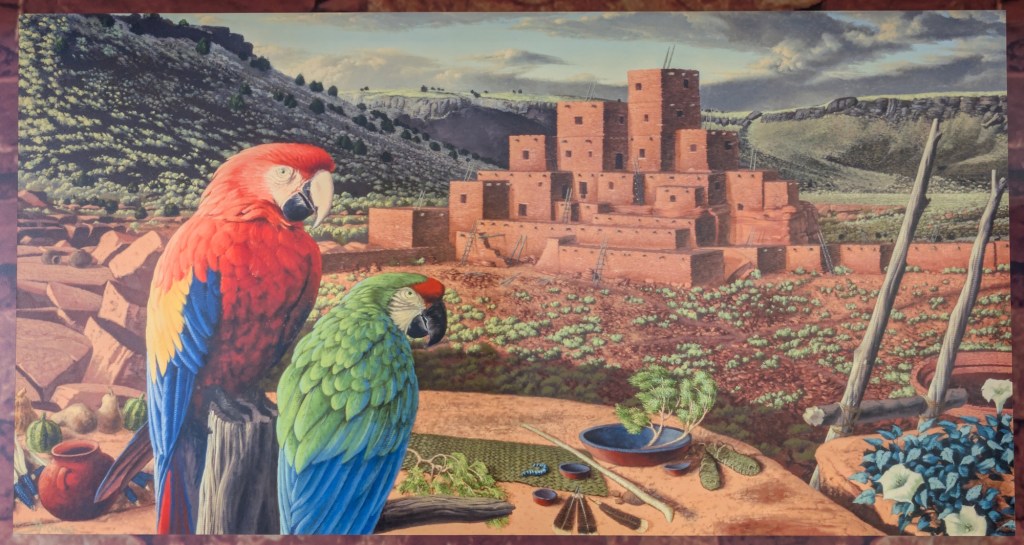
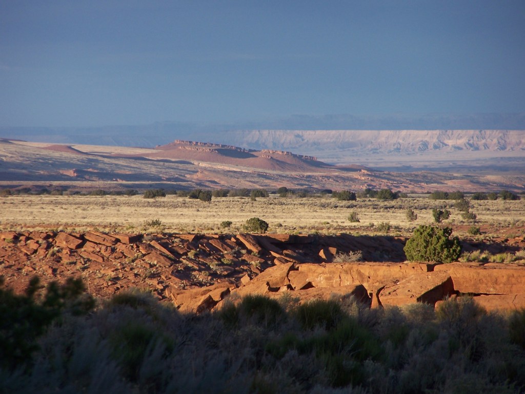
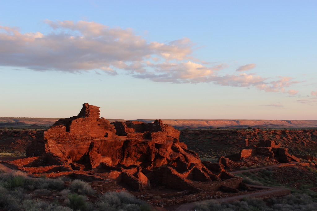
Here are two pictures from the NPS website with different light than I had on the day.
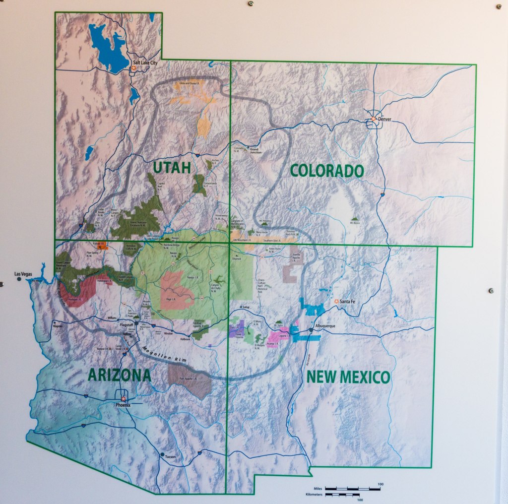
The next day I visited the Museum of Northern Arizona, which focuses on the geology and anthropology of the Colorado Plateau. This area covers land of the four-corner states of Arizona, Colorado, New Mexico and Utah. It is the area within the gray circle on the below map. Seems the moving continents have forced up the plateau over millions of years.
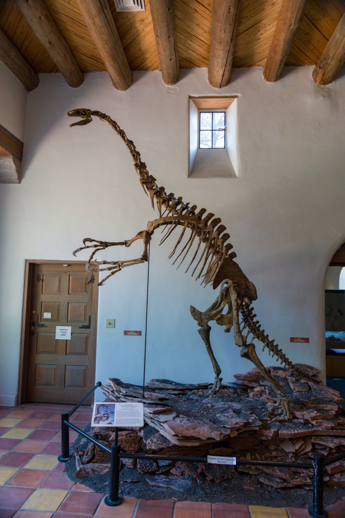
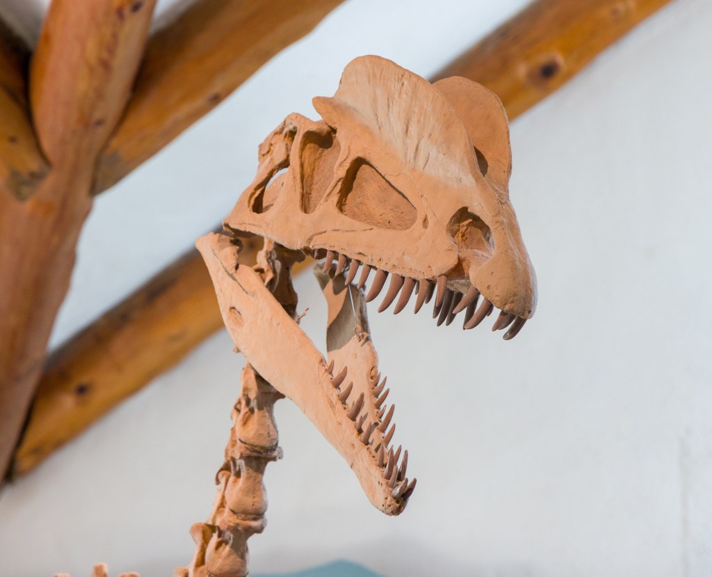
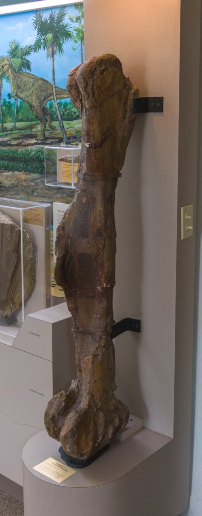
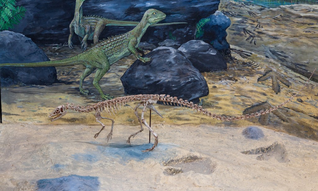
But that didn’t stop the dinosaurs from leaving behind fossils.
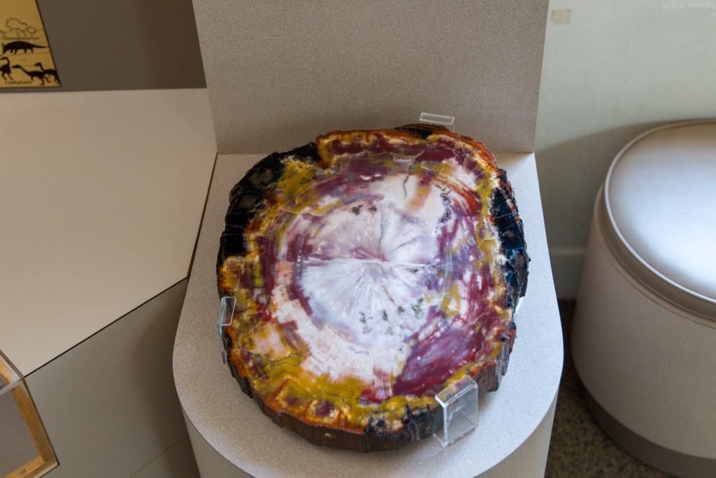
The museum had beautiful specimen of petrified wood.
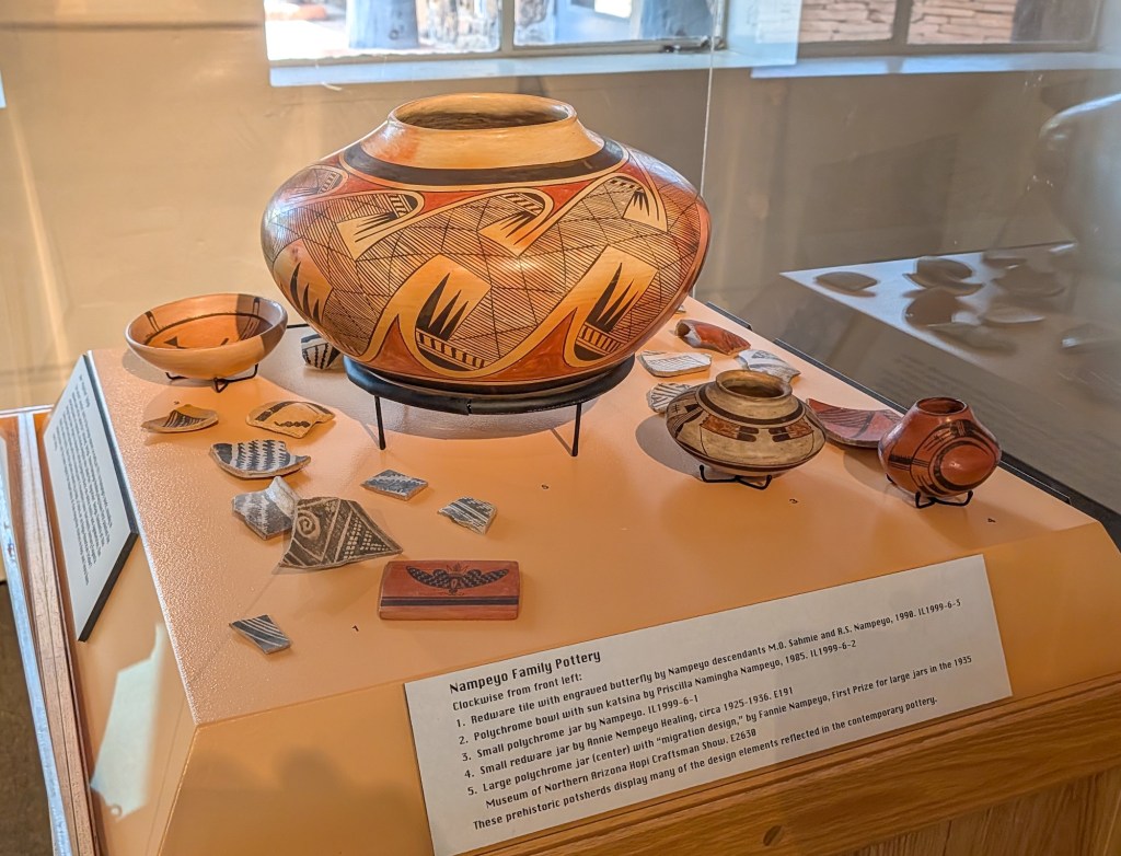
The next room was an explanation of how they use the changing basket weaving and pottery to identify the the age of findings. People have been in the Colorado Plateau for over 13,000 years.
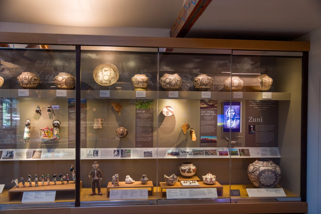
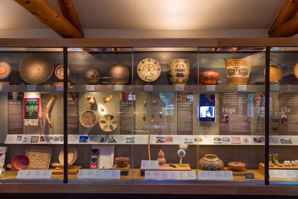
The history room is followed by the modern room, where a dozen of so tribes that currently live in the area supplied objects to help explain their current beliefs and lives. Here are only two pictures, but I could have shown twenty.
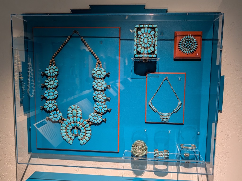
Naturally there was a section with jewelry. I did not know that the Spanish brought silver jewelry to the Americas and that turquoise came from Central America.
For such a small museum they do a great job displaying their collection. I lucked out and arrived right when a tour started and spent mover three hours here. Worth visiting.

